GIS

Feasibility study, needs assessment, modeling, design, development, strategy, implementation and creation of spatial information systems (SDI)
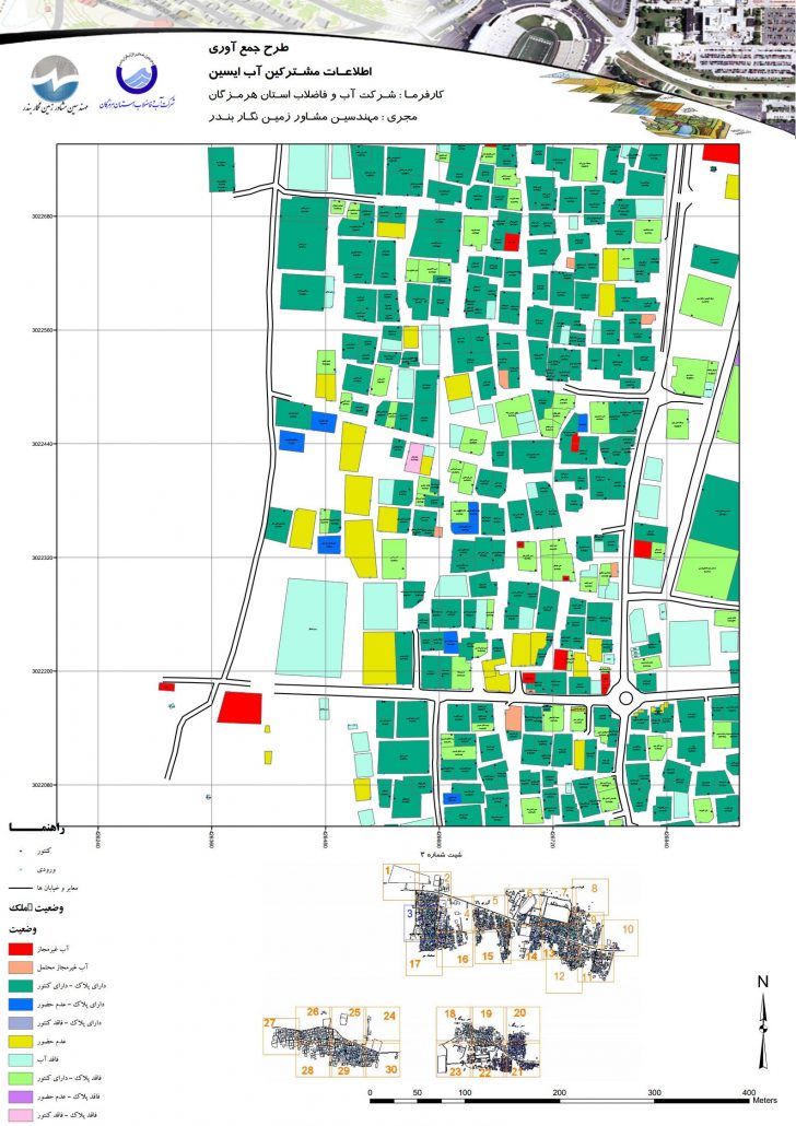
Collecting and preparing spatial and descriptive information to enter spatial information systems and analyze them

Create and implement sub-location spatial and descriptive information to enter reference location information systems
Implement and use smart systems to optimize problem solving and help base location decisions
Using spatial information technology to design and implement location-based location systems and mobile location information systems
Design and implement the required software for better use and specialization of spatial information systems
Display spatial data in WEB environment and perform spatial analysis (WEBGIS implementation)
Carrying out a location project in order to find the optimal and appropriate place for the desired tolls
Analysis of water, electricity, gas, roads and ….