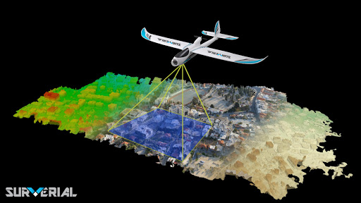
Imaging operations using a photogrammetry drone system to prepare maps and location informationReceiving orders and performing flight operations (aerial photography) in different scales in the fastest conversion of aerial photographs and drawing and cartography in different scales of time to prepare topographic and cadastral maps, especially with conflicting and difficult to pass.
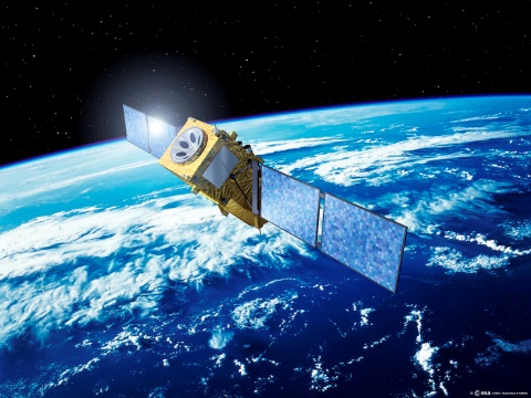
Collecting, processing, controlling, combining and analyzing all kinds of satellite sensor information
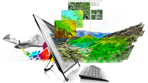
Design and implementation of spatial data production line (digital three-dimensional maps) using satellite, aerial and short-range images
Implement realistic virtual 3D models of cities based on spatial data
VISION METROLOGY SYSTEM (VISION METROLOGY SYSTEM)
Simultaneous use of satellite, aerial images and scheduling maps for analysis and refinement of changes
Image processing, pattern recognition and implementation of intelligent fixed and video image systems
Design and implementation of specialized applications for automation of remote sensing algorithms, photogrammetry
Application of techniques in artificial intelligence in automation of different stages of extraction, classification, detection and reconstruction of objects
Stero Earth Operation (Determining the Location of Photo Control Points)