
Ground mapping: includes the preparation of topographic maps including regional, urban and cadastral maps, mapping and implementation of projects including routes, pipelines, power transmission, urban and registration maps, preparation of longitudinal and transverse profiles and land aggregation, determination and measurement. Ground control of photography, as well as the preparation of a digital elevation model in cases where the collection of information is done by ground method. Perform cartographic processing to present and print products.
Microgeodesy: Includes tunnel and mine mapping, microgeodesy operations, displacement and behavior studies of natural and artificial structures such as faults, dams and technical structures, as well as expansion of geodetic networks and accurate alignment.
Photogrammetry: includes converting aerial and satellite images into maps, providing a variety of photographic and visual maps, short-range photogrammetry, remote sensing services, image processing and performing geometric and flat corrections, removal of displacements due to height differences, performing spectral corrections, data extraction And interpretation of satellite data and determination of land cover and land use and preparation of digital elevation model (DTM, DEM, DSM).
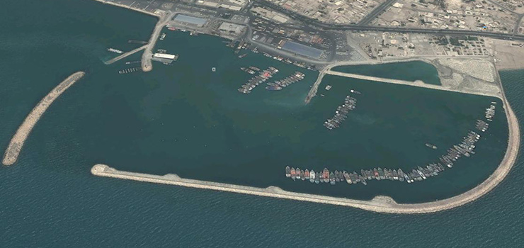
Hydrography: includes deepening and preparing maps of seabeds and rivers, conducting tidal studies, measuring water flow, calculating and preparing relevant tables, implementing the location of drilling rigs, oil and gas wells at sea, sampling seabed, lakes and rivers.
Spatial Information Systems (GIS): includes the design and creation of spatial information systems (GIS), terrestrial information systems (TIS), cadastre, automated mapping and infrastructure management (AM / FM), digital digitization operations, data collection and preparation. Location for GIS Ready Gathering, Gathering, Pre-Processing, Data Gathering and Descriptive Information Processing for GIS, Cartographic Processing and Digital Drawing Maps, Designing and Creating Systems Based on Information or Technology Used There are places in them such as: AVL, LBS, etc. Providing advice, design and cooperation in the implementation of spatial data infrastructure (SDI), authorship and compilation of thematic, tourist, tourism, urban and national and Atlas maps, drawing and presentation of all maps including topography, geography, geology, etc. Other cartographic matters up to the printing stage.
Economic Services and Planning: Includes counseling, guidance, educational planning, research and operational assistance, in relation to:
Investment advice, investment opportunity identification, market research and evaluation,
Pre-feasibility studies and technical, economic and financial feasibility studies of projects and projects,
Planning, planning and investment management, location, modeling, economic issues, sectoral studies, planning and budgeting, and in general the techniques and methods that are needed in the economic field of industry, sector or organization.
Providing advice on the rules and regulations, benefits, incentives and facilities of foreign investment in the country, conducting technical negotiations between foreign investors with the owners of investment projects and domestic partners,
Modeling various types of financing methods, especially new participatory methods of international financing, monitoring the implementation of investment projects and analyzing the civil and legal responsibilities of partners in projects.
Provide study, design, implementation and monitoring services for projects related to oil and gas transmission lines, distribution networks and gas pressure reduction stations and perform:
Technical and economic feasibility study, optimization and detailed design of pumping stations, compressor stations, warehouses and storage tanks, oil terminals, oil and gas transmission lines and pressure reduction facilities,
All work of ancillary facilities, related industrial and civil structures and monitoring of all operational stages of implementation, installation and commissioning of oil and gas transmission lines, pressure reduction facilities and gas distribution networks.
Conducting initial studies, feasibility study, recognizing and determining the information needs of organizations, information technology programming, general and detailed design of operational and information systems software, monitoring, implementation and implementation and training of designed systems, maintenance and improvement of these systems and training, Consulting and research on the effective use of information technology in organizations and institutions.
Holding training courses, scientific-technological workshops, conducting research services and research projects in specialized fields of mapping, geodesy and microgeodesy, photogrammetry, hydrography, GIS, information systems and software projects, transmission lines, distribution networks and pressure reduction stations. And technical-economic planning.